PHOTOGRAMMETRY & BIM SOLUTIONS
Leading in GIS, Photogrammetry, Lidar, Ortho, BIM & 3D Mapping Solutions – our website is under construction and coming soon.
Leading in GIS, Photogrammetry, Lidar, Ortho, BIM & 3D Mapping Solutions – our website is under construction and coming soon.
Z-MESH Innovations offers specialised services in LiDAR, photogrammetry, and volumetric analysis tailored for mining, construction, and infrastructure projects. While our website is currently under construction and coming soon, our experienced professionals are ready to use the latest technology to deliver accurate orthomosaics, 3D meshes, and BIM models. Join us to harness the power of spatial data for your business growth.
Airborne Laser Scanning (ALS) employs aircraft or drone-mounted LiDAR to capture 3D point clouds. Coming soon, our website will feature detailed insights on point classification, which categorizes raw points into standardized codes established by the American Society for Photogrammetry and Remote Sensing (ASPRS)—such as Ground (Class 2), Vegetation (Classes 3–5), Buildings (Class 6), and Water (Class 9)—to effectively separate ground topography from above-ground objects. Please bear with us as we finalize the information, as the website is currently under construction.
Mobile Laser Scanning (MLS) collects spatial data from moving vehicles, trains, or backpacks. This technology is essential for mapping features like curb lines, road margins, lane markings, utility poles, and signage for highway engineering and corridor management. Please note that our website is currently under construction and will be coming soon to provide more information on this innovative processing that converts dense point clouds into clean 3D vector CAD lines.
Measured Building Surveys (MBS) utilize terrestrial laser scanners to accurately capture the interior and exterior geometries of buildings. The scan data is then transformed into 2D CAD deliverables, which include Elevations (facade views), Sections (cut-through views showing slab-to-ceiling heights), and floor plans for renovation or structural analysis. Please note that our detailed services related to MBS are coming soon, as our website is currently under construction.
Digital Terrain Models (DTMs) represent bare-earth elevations, stripped of vegetation and structures. In mining and earthworks, contours generated from DTMs are vital for comparing sequential surfaces over time. This allows for precise calculations of excavated pit volumes and stockpile quantities (cut-and-fill analysis). Please note that our website is currently under construction, with more information coming soon.
Building Information Modeling (BIM) for Mechanical, Electrical, and Plumbing (MEP) is coming soon as we enhance the process of transforming point clouds or architectural CAD into parametric 3D models. This innovative approach accurately routes HVAC ductwork, piping, conduit, and equipment, helping to identify spatial clashes before physical construction begins. Please note that our website is currently under construction, so stay tuned for more updates.
Photogrammetry reconstructs 3D spatial data from overlapping photographs. Our website is currently under construction, so stay tuned as we prepare to showcase GCP Alignment & Optimization: Ground Control Points (GCPs) tie photos to real-world coordinates and correct lens distortions. Additionally, we will feature Orthomosaic / Orthomapping, which stitches hundreds of photos into a uniform, scale-correct, orthorectified 2D map. Finally, our 3D Mesh connects points into a textured triangular surface for visual fly-throughs and 3D terrain representation. Coming soon!
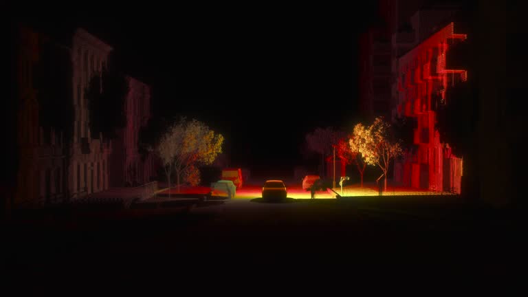
The final visualization stage takes 3D point clouds, meshes, or CAD models and renders them into high-resolution videos, cinematic fly-throughs, and VFX overlays for project presentations and stakeholder marketing. Please note that this feature is coming soon as our website is currently under construction.
We specialize in Lidar ASPRS classification, topographic mapping, and environmental data collection. Our website is currently under construction, with solutions that will support projects in mining, construction, and environmental science, ensuring high precision and reliability coming soon.
Our photogrammetry services, which include orthomosaic creation, GCP alignment, and 3D mesh generation, are currently being enhanced as our website is under construction. Coming soon, we will offer high-quality visual data for accurate analysis and project planning.
Our MBS and elevation services, which provide detailed measurements and 3D models for building projects, are coming soon as our website is currently under construction. We focus on accuracy and efficiency to support BIM and infrastructure development.
We understand that our clients have unique needs. Our website is currently under construction and will be coming soon, so feel free to send us a message, and we will get back to you shortly.
Open today | 09:00 am – 05:00 pm |
Copyright © 2026 Z-MESH - All Rights Reserved.
Powered by GoDaddy